The rapid urbanization and increased vehicular movement have made traffic congestion a persistent challenge for modern cities. Traditional traffic management systems, often reactive in nature, struggle to address the dynamic and complex patterns of urban mobility. This chapter explores the integration of aerial data analytics and machine learning techniques as innovative solutions for real-time traffic flow optimization. By leveraging high-resolution aerial imagery, coupled with machine learning algorithms, predictive traffic modeling enables proactive traffic management, reducing congestion, enhancing safety, and improving overall transportation efficiency. The fusion of aerial data with ground-based sensors offers a comprehensive approach to monitor traffic conditions, detect incidents, and predict congestion patterns in urban environments. Case studies demonstrate the successful implementation of these technologies in smart cities, showcasing significant improvements in traffic flow, reduction in travel times, and environmental benefits. Through continuous refinement of predictive models and real-time data integration, cities can build adaptive traffic systems that are responsive to current and future transportation needs. This chapter emphasizes the transformative potential of combining data fusion, predictive modeling, and machine learning for creating sustainable, intelligent urban traffic networks. The findings presented offer valuable insights for urban planners, traffic management authorities, and researchers seeking to advance the development of smart transportation systems.
Urbanization has led to an exponential increase in vehicular traffic, resulting in significant challenges for traditional traffic management systems [1]. These conventional systems, largely reliant on fixed infrastructure like traffic lights and sensors, are often unable to effectively respond to the complexities of modern urban traffic [2]. Issues such as congestion, delays, accidents, and pollution have become increasingly prevalent, necessitating the adoption of more advanced, data-driven traffic management strategies [3]. The ability to harness emerging technologies such as aerial data and machine learning offers a promising avenue for addressing these challenges [4]. By integrating real-time data collected from aerial platforms with sophisticated predictive models, cities can move toward more intelligent, efficient, and proactive traffic systems [5].
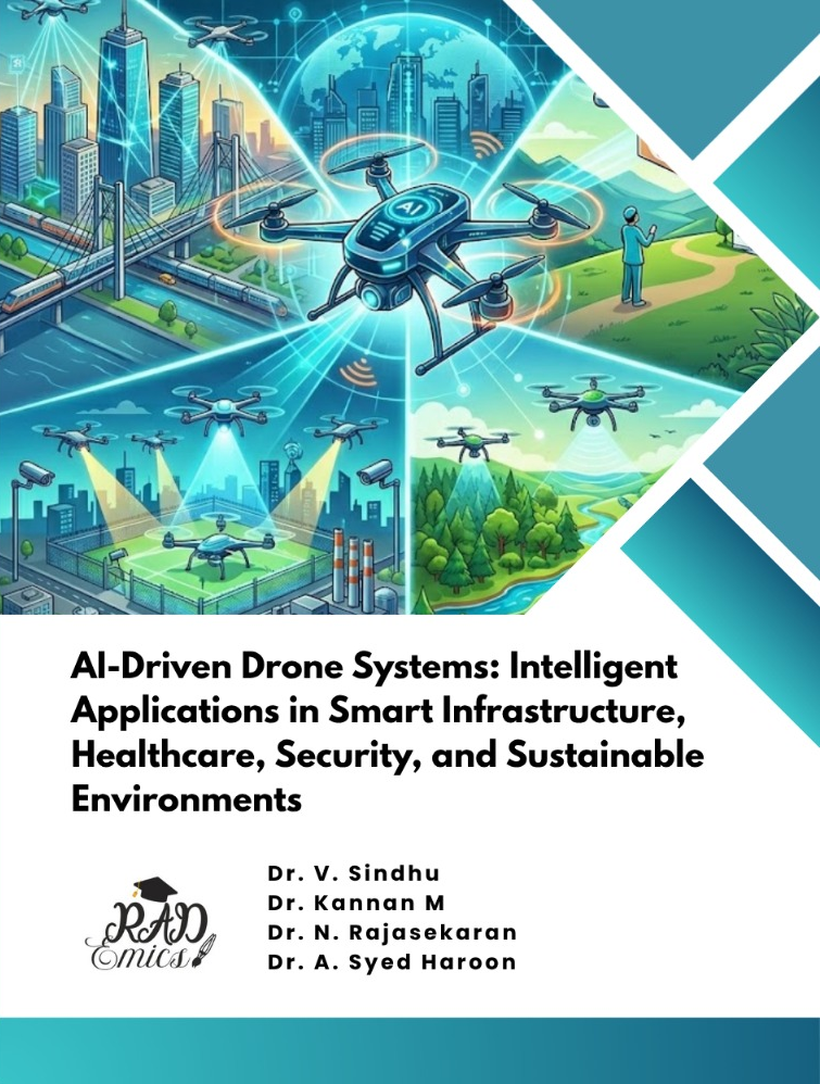
Aerial data, obtained from drones, satellites, and other unmanned aerial vehicles (UAVs), offers a unique advantage in urban traffic monitoring [6]. Unlike traditional ground-based sensors, aerial platforms provide a bird's-eye view of traffic patterns, capturing high-resolution, dynamic data on vehicle movements, congestion points, and road conditions [7]. This data allows for real-time monitoring of large areas, including regions that may be difficult to access by ground vehicles [8]. When coupled with machine learning algorithms, this information can be analyzed to identify traffic trends, forecast congestion, and optimize traffic management strategies [9]. The ability to monitor traffic conditions in real time and predict future patterns is crucial in addressing the growing challenges of urban mobility [10].
The integration of aerial data analytics with machine learning enables the development of intelligent traffic systems that are capable of making data-driven decisions [11]. Machine learning models can process vast amounts of traffic data and learn from patterns to make accurate predictions about traffic behavior [12]. For example, reinforcement learning algorithms can be applied to optimize traffic signal timings dynamically, adjusting them based on real-time data from aerial platforms and ground sensors [13]. This shift from reactive to proactive traffic management allows cities to address traffic issues before they escalate, reducing congestion, improving flow, and enhancing safety [14].
Another significant advantage of merging aerial data with machine learning is the ability to conduct predictive traffic modelling [15]. Predictive models leverage historical and real-time data to forecast traffic conditions, congestion levels, and potential disruptions [16]. For instance, by analyzing trends in traffic flow, machine learning models can predict peak hours, identify accident-prone areas, and offer actionable insights for improving road safety and efficiency [17]. These models enable cities to prepare for potential disruptions, such as accidents or road closures, by implementing preemptive measures like adjusting traffic signal timings or re-routing vehicles to avoid congestion [18]. Predictive traffic modeling enhances the adaptability and responsiveness of traffic management systems, ensuring smoother and more efficient traffic flow [19].